Its been a long week for the Not Quite LC tandem, and while I'd like to say we're better for the experience I'd by lying through my teeth. Here's what you need to know from 07/03 to 07/09.
Weekly Miles: 170.9
Total Miles: 510.5
Day 14- 5.4 miles: Kiwanis to Baxter Campsite. You're probably thinking to yourself, “What whimps only go five miles? You'll never get to New Orleans with that type of work effort!” Let me say you're not wrong there. But the reason for our short day was due to the fact we had a bunch of errands to run and Brainerd, Minnesota isn't exactly an easy city to walk. (I'm looking at you two and a half mile one way walk to the grocery store).
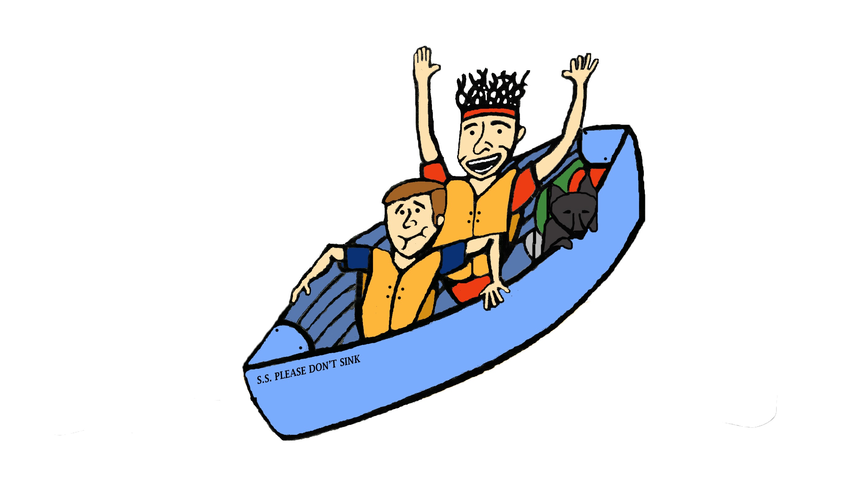
Day 15- 32.1 miles: Baxter to Charles A. Lindbergh State Park. On America’s birthday we fought a strong wind all day in order to camp out next to a swamp. The river became wider than some of the earlier lakes, and just as hard to paddle through. We're pretty sure we stayed illegally at a closed campsite. Line of the night goes to Trent who right as we're about to retire for the day wonders out loud if the reason the place is empty is because they've recently seen an overly high number of bears. Thanks Trent. Oh yea and we found out Jean (the canoe) has a small leak.
Day 16- 18 miles: Charles to Stearns County Park. It was a short day that included a 300 yard portage past another dam. The map called it a, “rugged terrain” and they weren't kidding.
Day 17- 20 miles: Stearns to Putnam Pasture. We had to portage around two dams and navigate through class 3 rapids. Although I think the map lied to us about the rapids part. Our short day gave us a chance to explore St. Cloud without staying there overnight.
Day 18- 44.4 miles: Putnam to Goodin. Good job by you Billy! We squeaked past our old personal record by a mere .2 miles. Thanks to the darn Army Core of Engineers and their quest for hydro power the river has become domesticated. It gets very shallow at parts, so much so we had to get out and walk along the canoe. Also from here on out exact miles will be tough to calculate since we passed our last established campsite. Bring on the illegal camping, and have your bail money handy!
Day 19- 25 miles: Goodin to Lower St. Anthony Falls. What was once a pair of locks and dams was shut down in 2015. This meant we had a mile and a half portage ahead of us. Thankfully our Air BNB host (Josh) drove Jean and ourselves the mile and a half to our destination. Did I mention we also explored the city of Minneapolis. I'm starting to wonder if Trent won't move out here when it's all said and done.
Day 20- 26 miles: Lower St. Anthony Falls to Upper Grey Cloud Island. It's a whole new ball game from here on out. We made it through our first lock, saw our first barge, and had to actually avoid boat traffic. That's not even mentioning the nasty thunderstorm that hit as we were lying on the beach.
A Look Ahead: By the time you read next week's recap we’ll officially be out of Minnesota (fingers crossed).

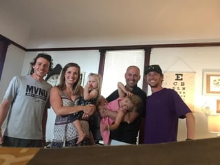
(Look at us making friends with our host family)

